Geosteering in the AI Era: Threat or Opportunity?
2 minutes reading
Last year, during a discussion in an operations room, someone asked, “If AI can read logs and predict structure, will we still need geosteerers?”
It’s a fair question.
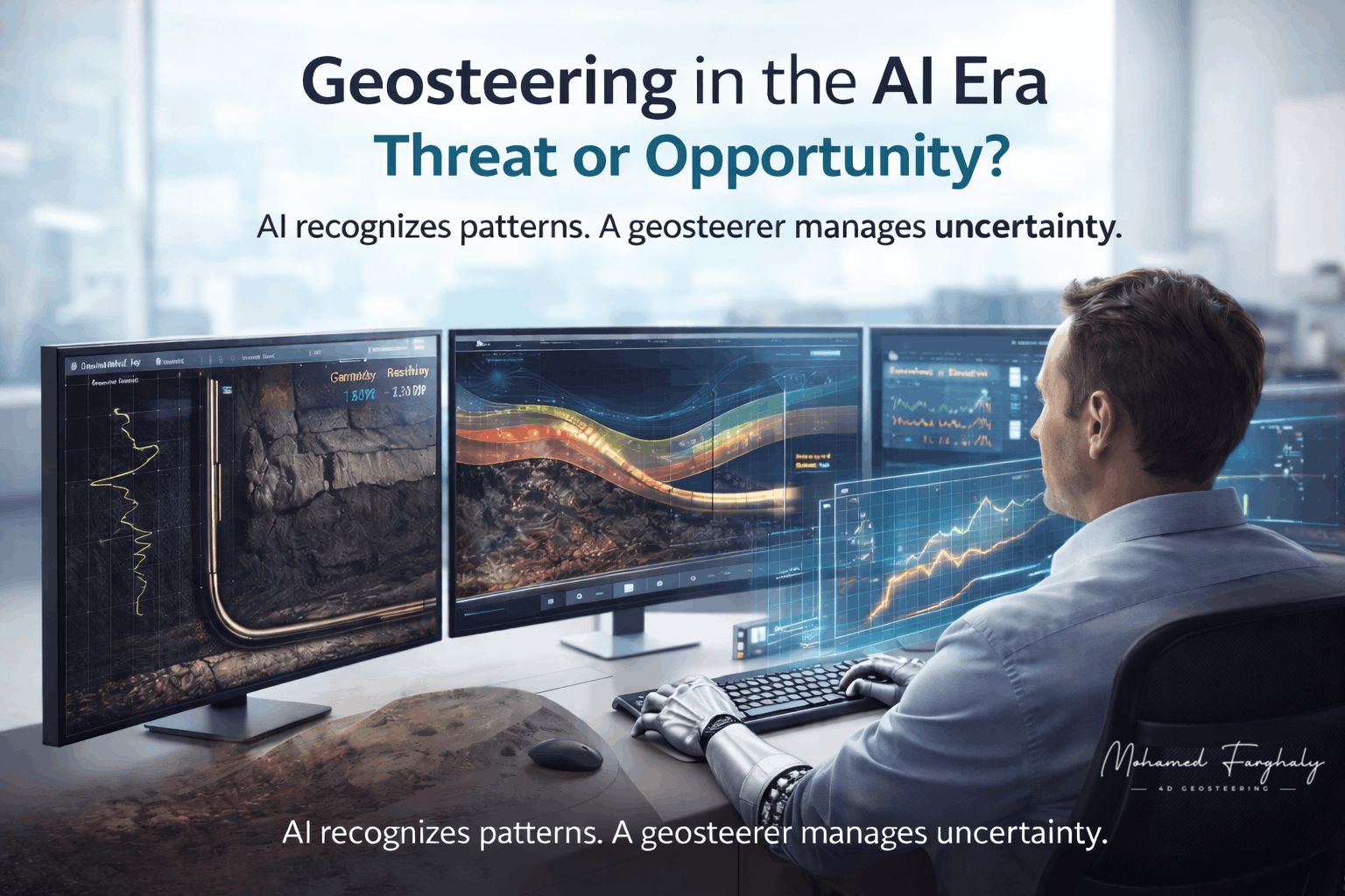
AI is now part of our daily workflow. Automated systems can correlate logs across offset wells in seconds, detect patterns in Gamma Ray and Resistivity trends, predict formation tops using historical data, flag possible bed boundaries, and even suggest trajectory changes based on trained models. These tools process more data in minutes than a human can in hours. That is powerful.
However, geosteering is not only pattern recognition.
Artificial intelligence can suggest that a boundary is near. Conversely, it cannot fully judge whether that change is structural, facies-related, tool-related, or operational noise. Furthermore, it does not balance dip interpretation with drilling limits, nor does it sit in front of the team to take responsibility for landing the well one foot below the reservoir top.
AI recognizes patterns. A geosteerer manages uncertainty. And uncertainty is where real decisions are made.
The future is not about competing with AI; rather, it is about working with it. Instead of spending hours correlating wells manually, you validate AI outputs. Early refinement of models replaces late, reactive changes. Strategic focus on structure and placement quality takes precedence over repetitive tasks.
The real risk is not AI replacing geosteerers. Instead, the real danger is professionals who refuse to adapt being replaced by those who understand data, modeling, and digital workflows.
AI is not shrinking geosteering; it is raising the standard.
The future belongs to professionals who combine geology, technology, and decision-making under pressure. Do you think AI will simplify geosteering, or make it more demanding?